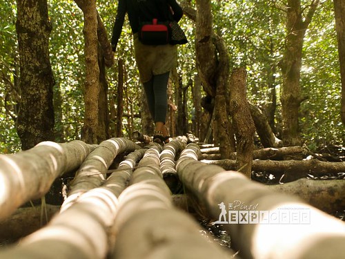
Exploring the Bongsalay Mangrove Natural Park in Ticao Island is not complete without going through the mangrove walk. A travel destination in the early 2000s, this site has been the site for various lakbay-aral (educational tours) of various local government units and nongovernment organizations.
Subsequently, those who have gone here have patterned their own mangrove walks in their own locality, and have, in one way or another, succeeded. Sad to say, the waning support of the provincial government to this mangrove forest for eco-tourism has hurt not only the support for the protection of the mangrove forest but also denied the community their source of livelihood from eco-tourism.
One community member said "It is politics. When the former governor was replaced, we were also forgotten."
 |
| The mangrove walk starts from Entry Point No. 3 then a traverse to the old growth trees up to the End Point |
Be that as it may, the Philippine Federation for Environmental Concerns (PFEC) is now starting a community development program that may include eco-tourism. This sparked hope among the community members and leaders and they hope that they would be able to revive the eco-tourism in their barangay.
So how does the mangrove walk appear and appeal to me?
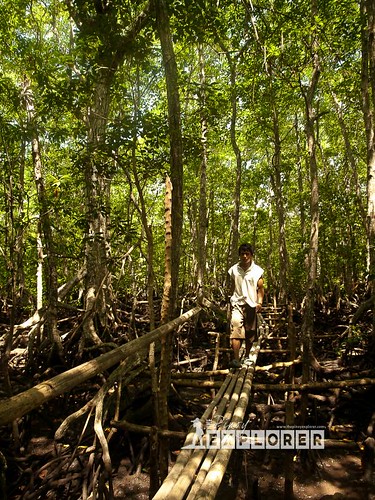 |
| The elevated bamboo walkway connects two small villages in Brgy. Royroy, Batuan, Masbate |
If one is not familiar with mangroves, one can just say it is just a bunch of trees and twigs and peat and mud. As mentioned in my previous blog about the Bongsanglay Mangrove Natural Park, a mangrove plays a vital role in the coastal ecosystem.
Walking through the mangroves is a privilege for me. It is not enough that one reads about mangroves. One has to walk through them to better appreciate and be educated more about its importance and the biodiversity that thrives in them.
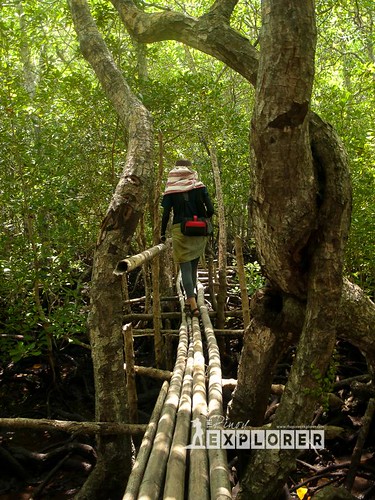 |
| One of the more scenic spots inside the mangrove forest. |
It was a long walk and a bit difficult, add to it the rickety bamboo walkway. One needs a good sense of balance as some do not have handrails. The bamboo walkway, at this point, does not serve for eco-tourism. Primarily, it serves to connect two small villages in the barangay. There are plans to rehabilitate the bridge and make it stronger since kids pass through here to go to their school which is several kilometers away.
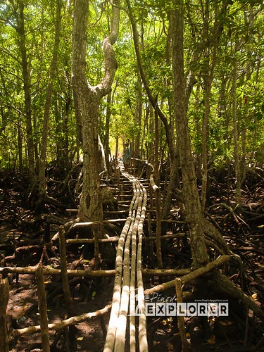 |
| The long and winding and rickety bamboo footbridge. |
Overall though, it is a challenging walk especially to me who have to see from all angles and photograph every interesting subject for documentation. Above all else, I am privileged to see the biggest and oldest mangrove tree called Piapi. It is believed to be more than 100 years old and the oldest in
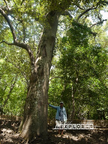 |
| The Piapi Tree. On the photo is Mang Cipriano, the president of the Roy-roy United Fisherfolks Association (RUFA). I asked him to pose to show scale. |
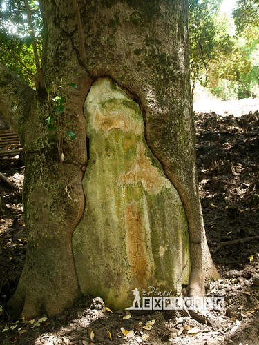 |
| A rotten portion of the trunk. DENR had to put plaster in the cavity to prevent the tree from decaying. |
So what else can you see in the Bongsalay Mangrove Natural Park? I am honored to share some photos with you.
 |
| A Miyapi (mangrove) flower. |
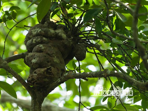 |
| Hornet nest. |
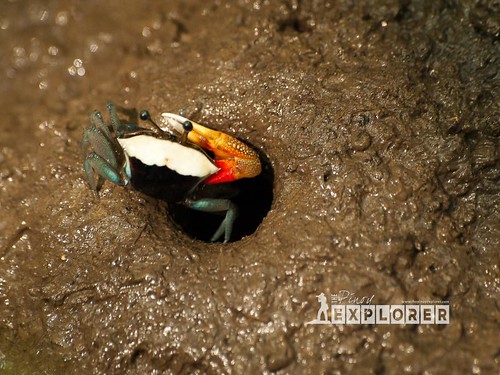 |
| Colorful tiny crabs |
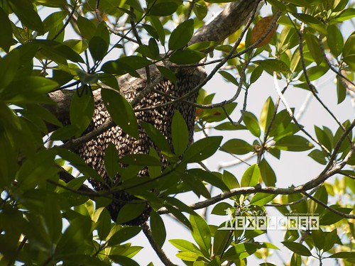 |
| A beehive. |
These are just a few of the biodiversity we saw in the mangrove forest. There are more, but of course one needs to stay longer to see them. We were just passing through.
It is also famous for birding activities. True enough, we heard many birds tweeting from afar. Inasmuch as we wanted to photograph them, we were told the birds are in the deeper part of the forest and one needs to be properly geared (both in clothing and camera) so that one can photograph them. So if you are into birding activities, this is also recommended.
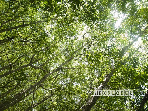
Overall, this mangrove forest has a high potential for eco-tourism. When I asked if they are ready to receive travelers to their community, and they all responded in positive. Let us just hope they would be able to get their acts together for a more successful eco-tourism.
Do you like this article? Like us on Facebook, too!

No comments :
Post a Comment